


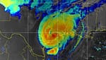


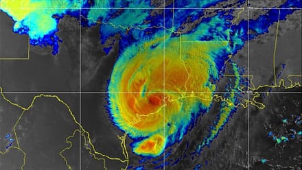


Keeping Up With Hurricane Ian: National Weather Service Live Updates
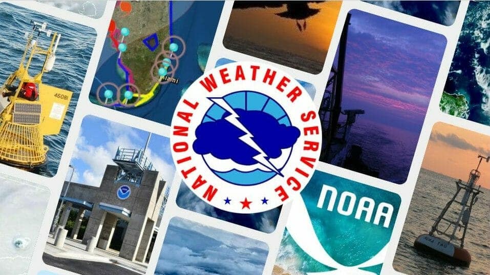
Go! Gulf States photo collage of various NOAA Facebook assets
With amazing granular, up-to-date maps from the National Data Buoy Center, Coastal Inundation Dashboard, and so much more, the National Oceanic & Atmospheric Administration compiles the most up-to-date info available to the public during catastrophic weather events. – Editor
NOAA’s National Weather Service offers this portal to the latest, most accurate information on Hurricane Ian. Here is a compilation of information to use before, during, and after the storm, including the most current weather forecast conditions for your area, evacuation and shelter information, and available resources to help keep you and your loved ones safe.


